Cart(0)
Camping Specials & Wilderness Gear: Tents, Backpacks, Cookware & More
Camping Specials & Wilderness Gear: Tents, Backpacks, Cookware & More Camping Specials & Wilderness Gear: Tents, Backpacks, Cookware & More
Home Wilderness Extras Map
Sheltowee Trace Topographic Map - South
Title:
  • DefaultTitle

$ 0.00

$ 20.00

Please select combo product attributes
The combo subtotal is $,SAVE$

Product Details

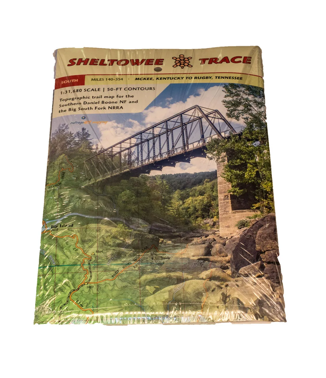
OUTRAGE GIS SHELTOWEE TRACE MAP - SOUTH

This map is a companion to the Sheltowee Trace North map with mile markers beginning at the Northern Terminus in Rowan County, KY.

Contains topographic map information for mile 140-354 of the Sheltowee's Southern trail section. From McKee, KY to Rugby, TN.

You May Also Like
Unavailable
Cart
Camping Specials & Wilderness Gear: Tents, Backpacks, Cookware & More
Your cart is currently empty.