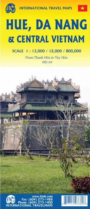
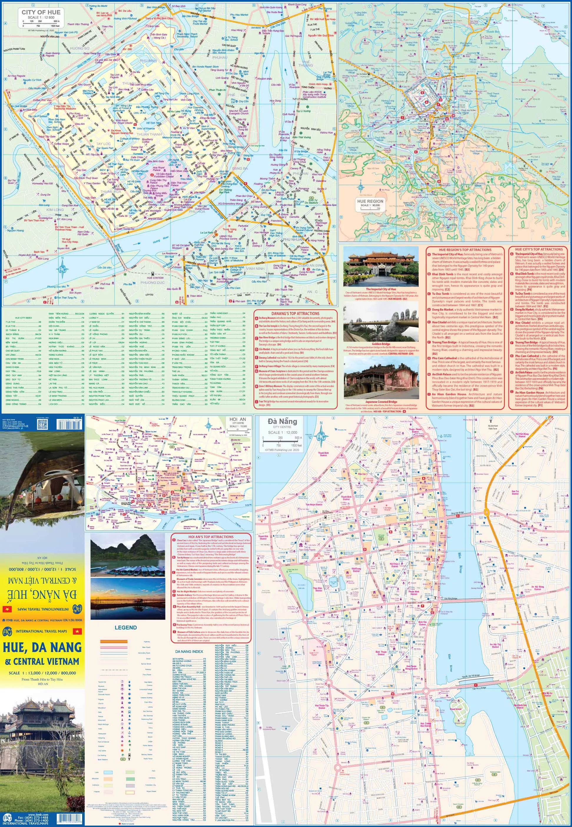
Vietnam's royal city is the site of the former royal palace, the citadel that was so hard-fought-over during the Tet Offensive, and the site of many of the tombs of former emperors. As such, it is a prime touristic attraction. Da Nang, formerly best-known as the location of China Beach, is the most Westernized city in Vietnam, and a vacation resort town for long-term stays. Hoi An is a nearby town and a UNESCO World Heritage site.
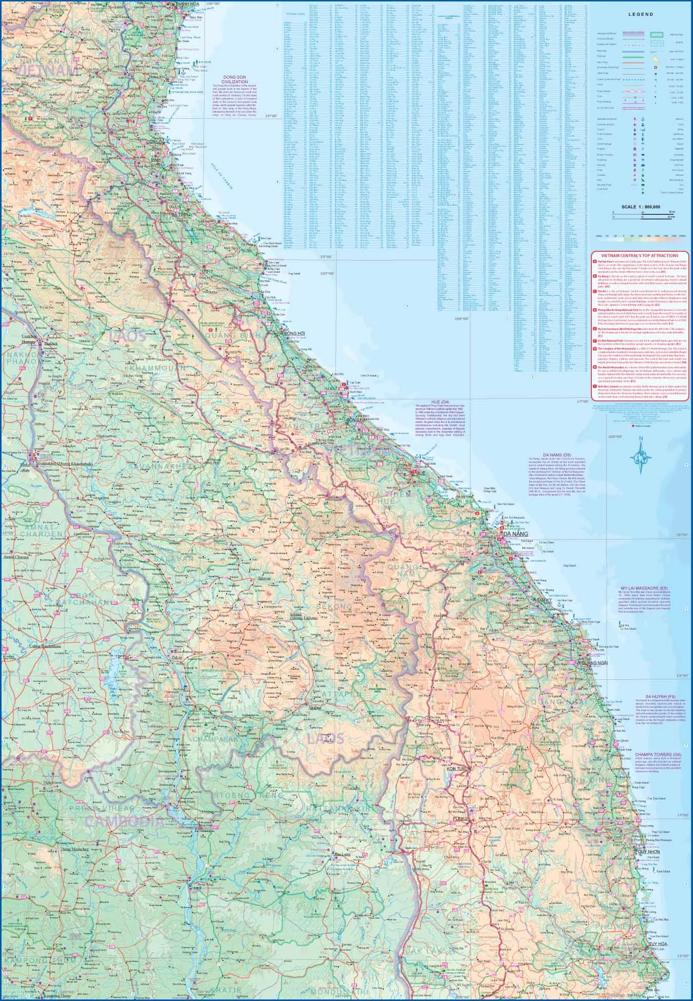
Combine all of this with the Central Highlands region of Vietnam from Thanh Hoa south to Tuy Hoa and add in all of southern Laos and one has a successful map of an interesting portion of Vietnam, at a scale much better than that of any other map. This is the link that joins the northern and southern portions of Vietnam, including those parts of the famous ho Chi Minh Trail.
We can laminate this map, which will allow you to draw on it in whiteboard marker or apply to locations of interest without permanently marking the map. The lamination also makes the map very durable and protects against tears and stains.
To laminate this map we have taken the folded map and flattened it out before encapsulating it in high-quality 80-micron laminate, so please be aware that there will still be slight fold lines visible.
Scale 1:13000,/ 1;12000/ 800,000
Size 690 x 1000mm


