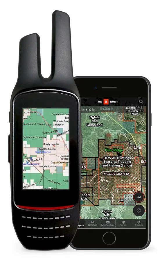
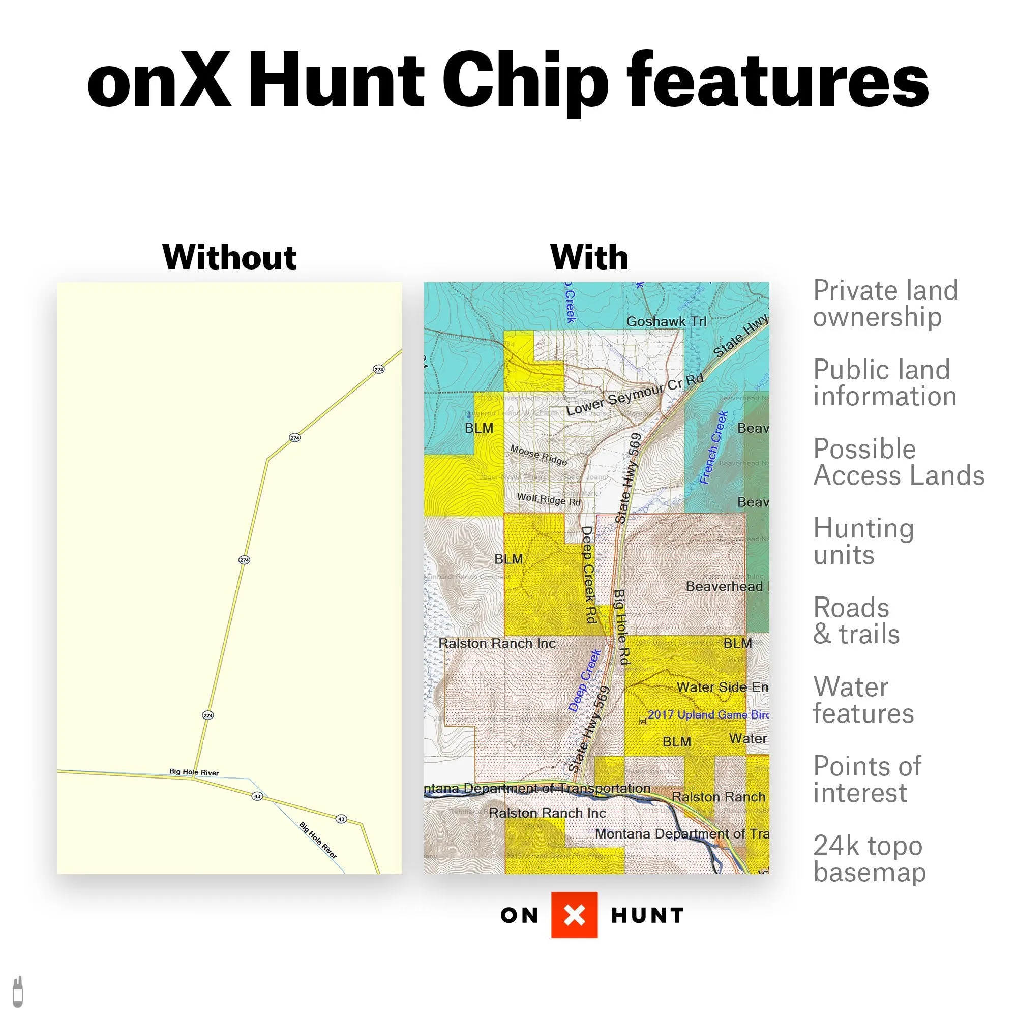
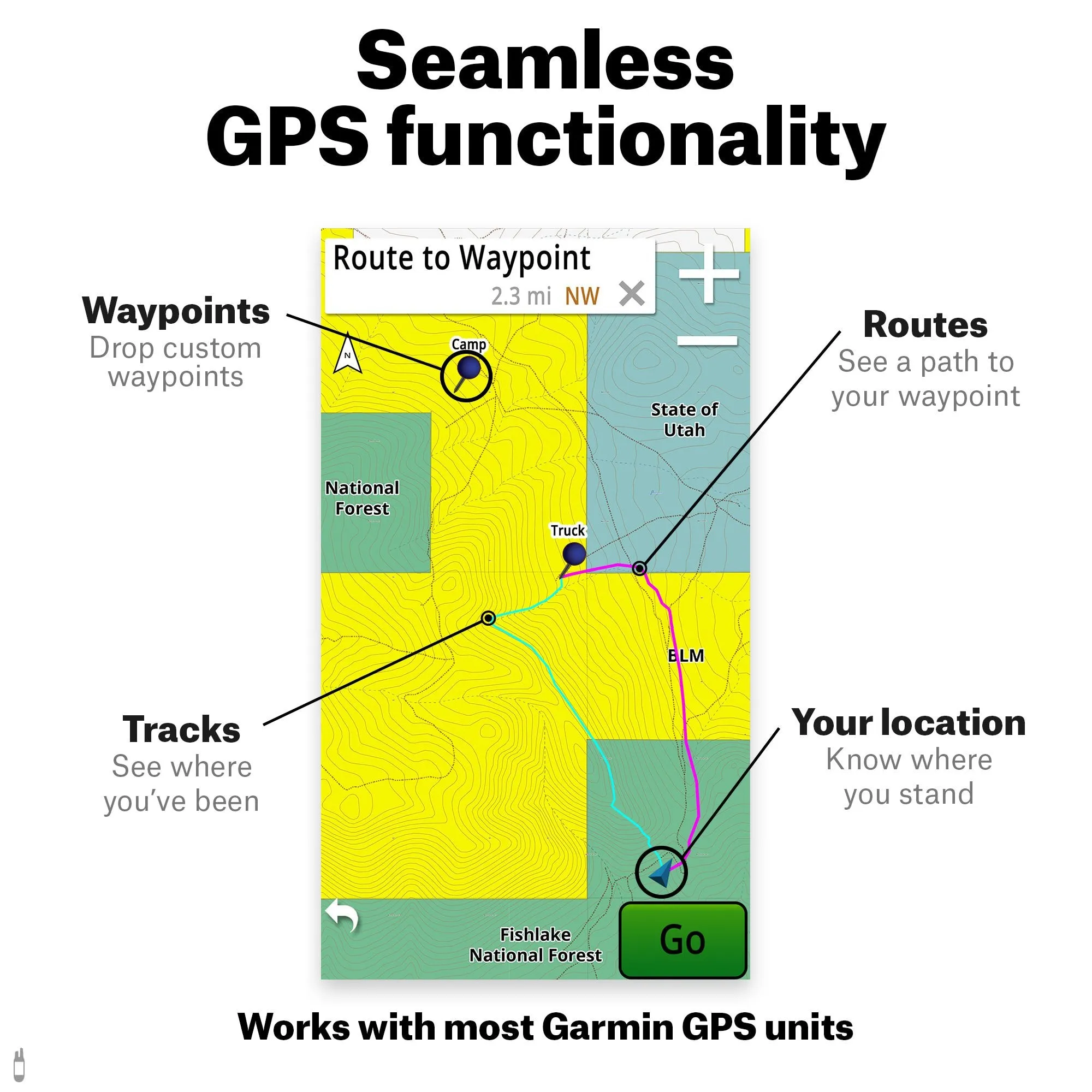
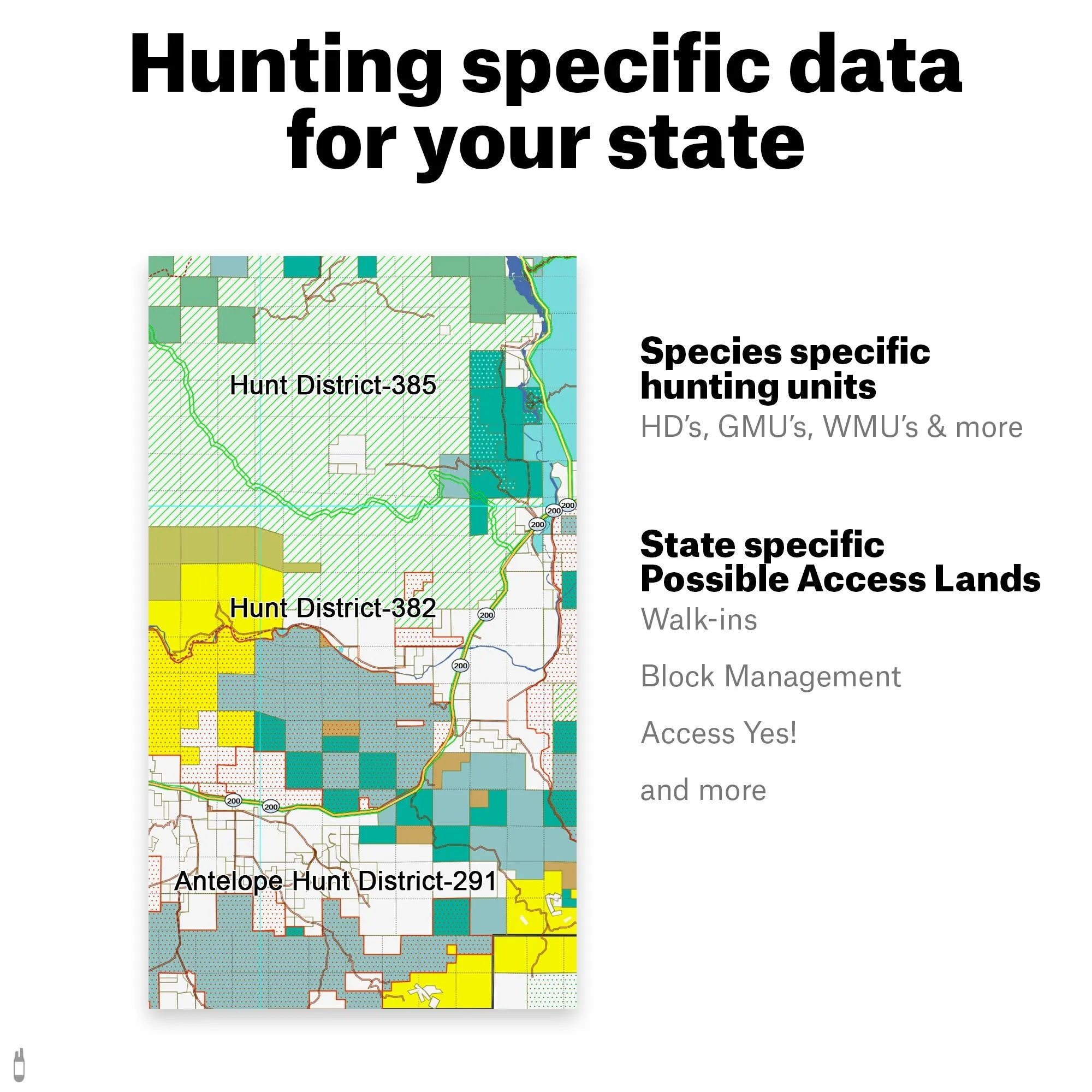
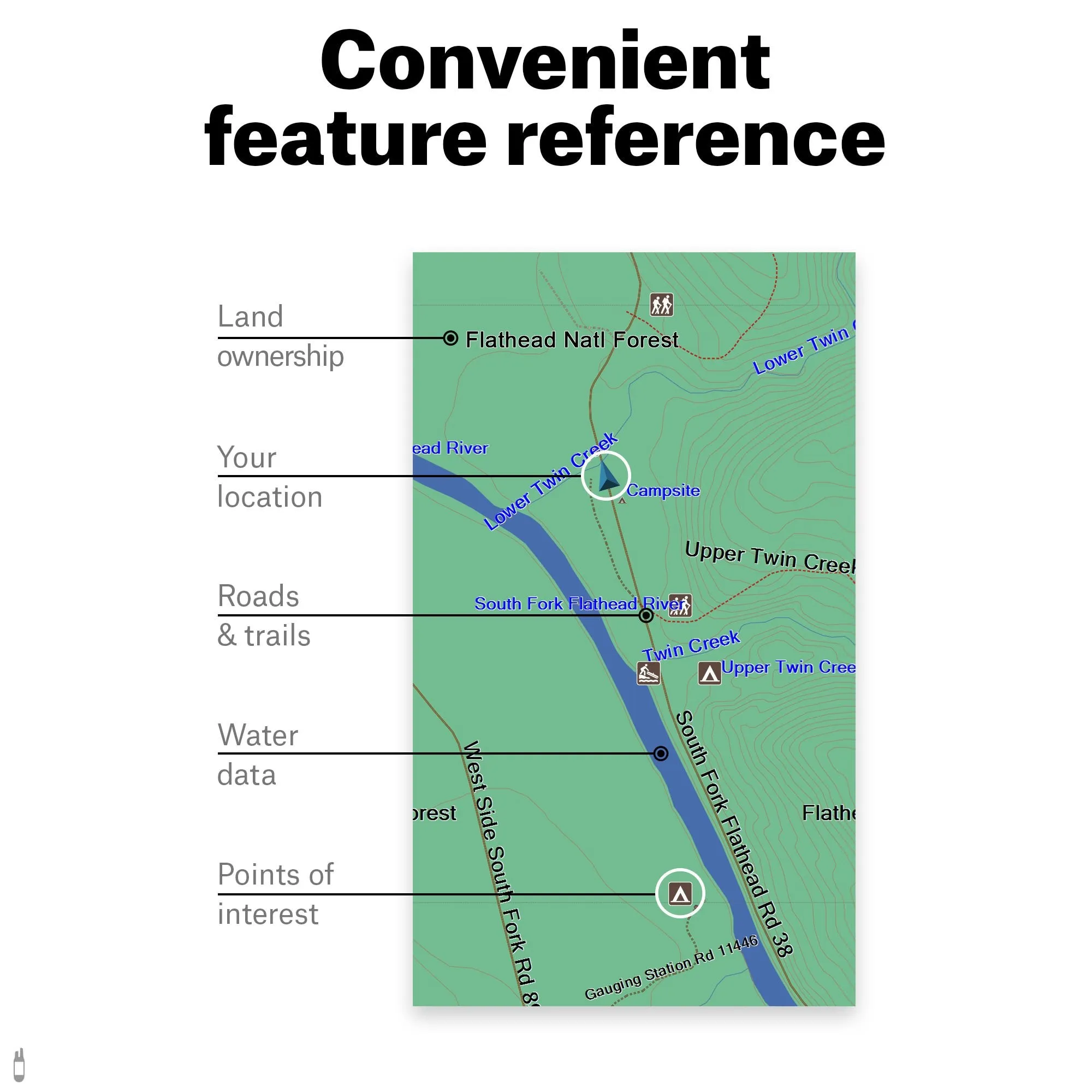
onXmaps, now onX Hunt, has combined BLM, Forest Service, USGS Topo Quad, and PLAT book maps to give you HUNT Colorado for Garmin GPS, the most informative GPS map of Colorado ever created! This microSD Chip gives you a color-coded map of Colorado showing public & private land boundaries with land owner names, Game Management Units, topo information, roads, trails, and much more! Simply plug the MicroSD Chip into your compatible Garmin GPS to get instant access to Colorado hunting map data statewide. Endorsed by numerous State and Federal agencies, HUNT by onXmaps is the most reliable source for accurate and continually updated land ownership hunting maps on the market.
Your HUNT Chip now includes a FREE 1-year HUNT Membership!
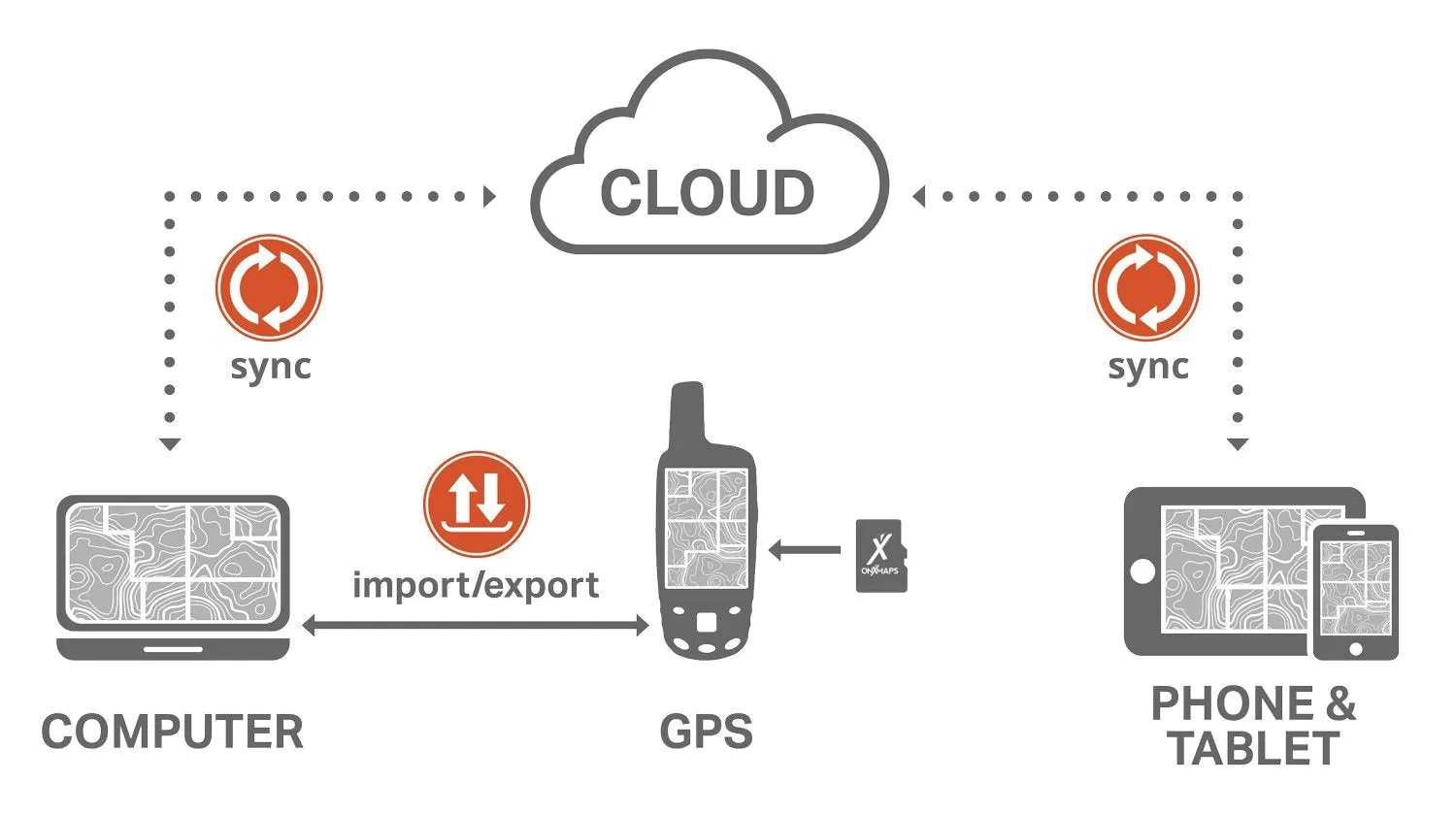
Activate the HUNT Membership redemption code inside your packaging to access your maps on your mobile phone, tablet, and computer PLUS receive automatic Chip Updates.
HIGHLIGHTS
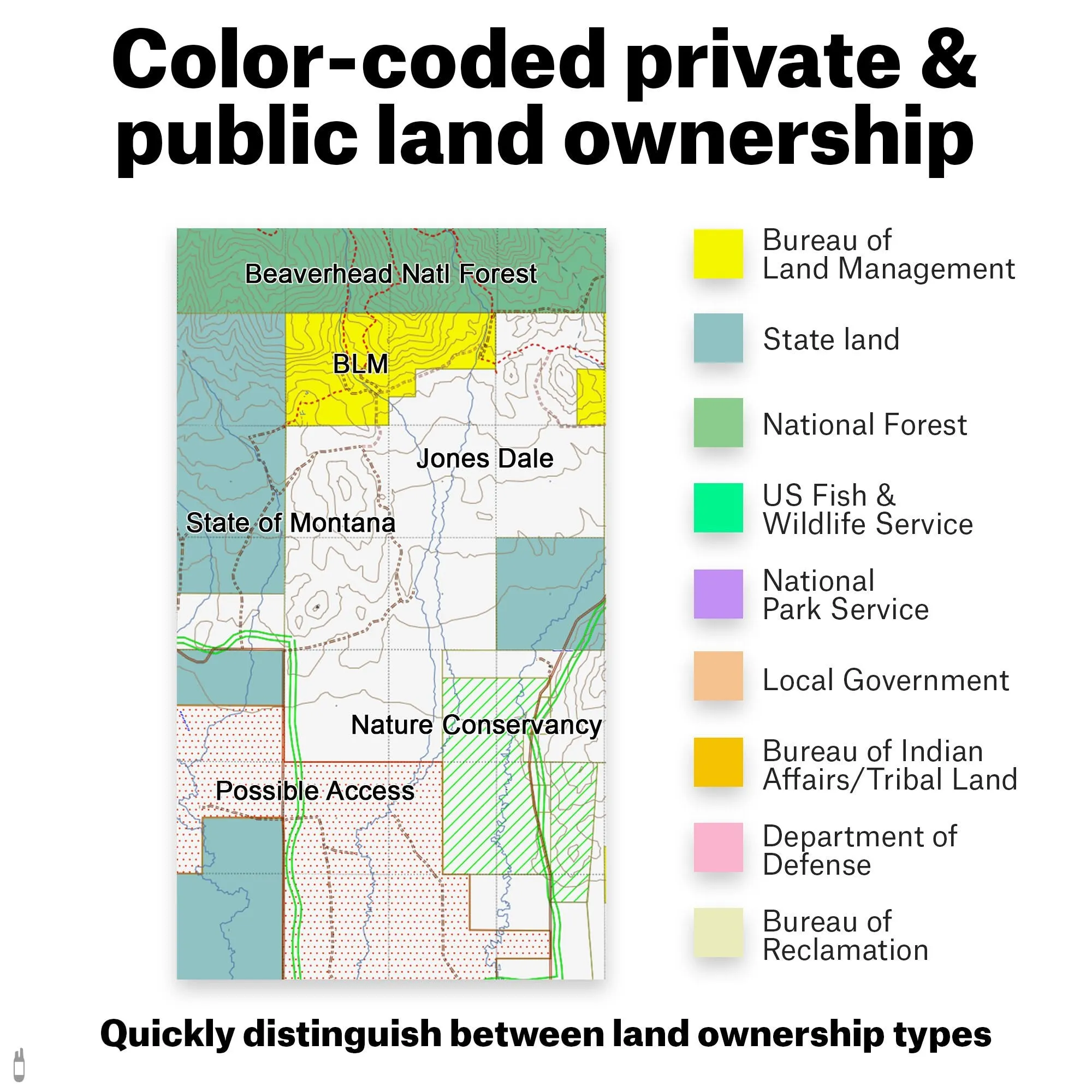
• Land Ownership: Color-coded public and private lands, Land owner names with property boundaries
• Geographic: 24K topo, Section lines & numbers, roads, Water Data, Key points of interest
• State Specific: Game Management or Hunting Units, Hunter access programs, Conservation and program lands
• Road and Trail Data: View city, highway, county, Forest Service, back-roads, trail systems, and more
• Easy to understand map legend with easily accessed map data
FEATURES
• Land owner name appears on each parcel in the state along with the parcel boundary
• Land owner name is searchable in BaseCamp and most GPS units
• CPW Walk-In Access Program Lands
• CPW Public Access Properties
• Color-coded land ownership data
• Bureau of Land Management (BLM)
• State Land
• State Trust Land
• State Parks
• State Wildlife Areas
• City land, county land
• US Forest Service (including National Grasslands)
• US Fish & Wildlife
• National Park Service
• Indian Reservations
• Department of Defense
• Corps of Engineers
• Bureau of Reclamation (BOR)
• Local government
• Non-profit Open Space Lands (Possible access on land owned by the Nature Conservancy, the Clear Creek Land Conservancy, the Western Rivers Conservancy, the Aspen Valley, Estes Valley, Crested Butte, Orient, Mountain and Yampa Valley Land Trusts, and more!)
• Colleges, Universities, and associated lands
• Much more!
• Game Management Unit boundaries
• Wilderness Areas
• 24k topo
• Section lines and numbers (T24N R34E 12)
• City parks, county open space
• Roads—Highways, city and county roads, USFS roads, BLM roads, National Park Service roads, US Fish & Wildlife roads
• Trails—National Forest trails, National Monument trails, National Park trails, US Fish & Wildlife trails, state park trails, regional park trails county greenspace trails, open space trails, mountain biking trails, motorcycle and snowmobile trails, OHV trails, ski runs, the Colorado Trail, and the Continental Divide Trail
GPS COMPATIBILITY
• Garmin GPS Device
• Color-screen
• Expandable memory


